(UUID : a3ef3340-d98f-4b1d-9e9c-ef5997018468)
 QR Code
Sample Type of Object
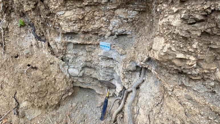
Rock
Sample Name
Lapilli
Sample ID (Self-granted ID)
MM_Rock_43_2024
Material
Rock
Field Name
Geological Survey in Mount Popa area, Kyauk Pa Daung township, Mandalay division
Sample Description
Lapilli occurs in mount Popa area, Kyauk Pa Daung township
Age
0 ~ 0.0118
Age(unit)
Million Years (Ma)
Geological Age
Holocene
Geological Unit
Collection Method
Manual
Collection Method Description
Database
Size
Size(unit)
Comment
mount Popa area, Kyauk Pa Daung township, Mandalay division (mount Popa National Geosite project)
Purpose
Mineral Database
Tag
Elevation
298.7 ~ 1518.2
Nav Type
GPS
Name of Physiographic Feature
volcano
Location Description
mount Popa area, Kyauk Pa Daung township, Mandalay division
Locality
mount Popa, Kyauk Pa Daung township, Mandalay division
Locality Description
To the east of the Indo-Myanmar Ranges in Myanmar the Central Lowlands (Naing Maw Than et al. 2017; Myint Thein & Maung Maung 2017), with a crystalline continental basement, are intruded by the Mesozoic–Cenozoic Wuntho-Salingyi-Popa Volcanic Arc (Myint Soe et al. 2017). The basement is overlain by Cenozoic sediments, divided between forearc and back-arc basins by a line of volcanic crater lakes and eroded cinder cones with Mount Popa in the south and Taungthonlon in the north.Pleistocene high-Al basalts and absarokites at Mount Popa and Monywa and OIB type alkali basalts at Singu (Bertrand et al. 1998; Lee et al. 2010) have previously been attributed to continued post- Miocene subduction (e.g. Mitchell 1993), but more recent work suggests they formed by extension-related melting of subduction-enriched mantle, indicating possible Middle Miocene (11 Ma) cessation of subduction (Everett et al. 1990; Lee et al. 2010).
Country
Myanmar (Burma)
State/Province
Mandalay division
City/Township
Kyaukpadaung township
Field Program/Cruise
Platform Type
Platform Name
Platform Description
Launch Type
Launch Platform Name
Launch ID
Collector/Chief Scientist
Dr. Myint Soe et al (DGSE)
Collector/Chief Scientist Address
Collection Date
Collection Time
Current Archive
for Field report
Current Archive Contact
Original Archive
for Field report
Original Archive Contact
Depth in Core
Core Depth(unit)
File Format
JPEG
File Title
Lapilli_MM_Rock_43_2024
URL
URL Type
URL Description
Document File
CC License
CC BY-NC - The author is free to use, but not for profit.
Copyright
The copyright of this data is held by CCOP.
Data Registrant
Registration Date
2024-08-14

Copyright © CCOP Technical Secretariat
CCOP Building, 75/10 Rama 6 Road, Phayathai, Ratchathewi, Bangkok 10400 THAILAND